St. Johns River Reaches Major Flood West Of Cocoa
The full version of an article from The Led Zeppelin Bus Newsletter, Issue 1006 (Nov. 13, 2026).
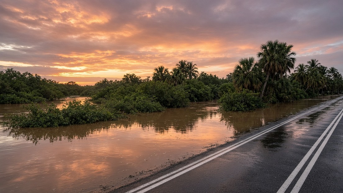
The St. Johns River west of Cocoa has risen into major flood. The river gauge there, U.S. Geological Survey (USGS) station 02232400, listed by the National Weather Service (NWS) as COCF1, read 17.0 feet at 7:15 a.m. ET on Tuesday, Nov. 10, 2026. That is the level at which NWS classifies flooding at this site as major.
The Numbers
- Bankfull (action) stage: 15.8 ft
- Flood stage (minor): 16.0 ft
- Moderate flood: 16.5 ft
- Major flood: 17.0 ft
- Observed: 17.0 ft at 7:15 a.m. ET, Nov. 10 (provisional)
- NWS forecast: about 17.2 ft by early Saturday, Nov. 14
The NWS office in Melbourne has kept a Flood Warning in effect “until further notice.” Its statement issued at 8:04 p.m. EST on Monday, Nov. 9, says recent rainfall over the headwaters of the St. Johns caused major flooding at the gauge, that water levels “continue to rise at upstream gauges,” and that the river “is forecast to remain steady near Major flood stage through this week.”
What 17.2 Feet Means On The Ground
The NWS impact statement for 17.2 feet says water enters homes along the river in the Lake Poinsett area west of Cocoa, and low-lying homes in the Silver Pines subdivision in Rockledge and the Shakespeare Park area of Cocoa. The Providence Road area west of Cocoa becomes impassable, cutting off access to homes in the Mullet Lane and Bass Road area. Docks flood, and water reaches the parking lot at Lone Cabbage Fish Camp.
Why The River Stays High
The upper St. Johns is a broad, slow marsh river with very little fall, so rain that lands upstream keeps arriving at Cocoa for days. Theory: that slow drainage is why the river can hold near its crest after local skies clear. This is the pattern the NWS warning describes (“remain steady … through this week”); it is not a forecast of when any road will reopen.
If You Are Driving This Week
State Road 520 crosses the St. Johns west of Cocoa at Lone Cabbage Fish Camp and is a main route between Orlando and the Cape, including for Friday’s Vulcan launch. Treat barricaded roads as closed, do not drive into standing water, and check Brevard County and Florida Department of Transportation (FDOT) alerts before you leave. Our companion piece, “Flood Prep for RVers Near the St. Johns,” covers relocation steps.
Sources
- NOAA National Water Prediction Service, gauge COCF1, St. Johns River near Cocoa (observed and forecast data checked Nov. 10, 2026)
- National Weather Service Melbourne, Flood Warning for the St. Johns River near Cocoa 9W (issued Nov. 9, 2026, 8:04 p.m. EST)
- U.S. Geological Survey, monitoring location 02232400 (provisional data) (checked Nov. 10, 2026)
Spotted an error? Email support@ledzeppelinbus.com.
Only active subscribers can comment on or rate articles. Anyone can browse the shop, the blog, and the home page. Buying in the shop requires an active $7/month Subscription, except a single issue of The Led Zeppelin Bus Times, which costs $7 without one.


Comments And Threads
Comments earn store credit. Every comment we approve earns 10 store credits (worth $1.00 in the shop), whatever it says: positive, negative or neutral. We do not ask for or pay for positive comments or reviews. Limits: 100 credits a day and 1,000 credits a month ($100.00) per account. Credits have no cash value, cannot be cashed out or transferred, and expire after 12 months. Comments are reviewed before they appear; we approve or reject on the comment rules only. One account per person. Credit is shown in your account once approved and applied by hand to a shop order or subscription month.
Loading comments…